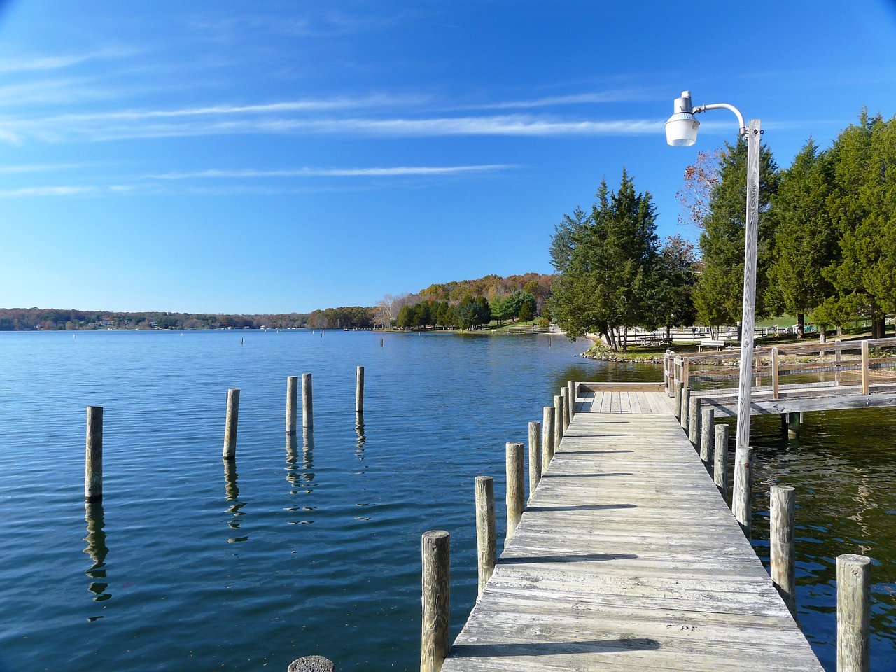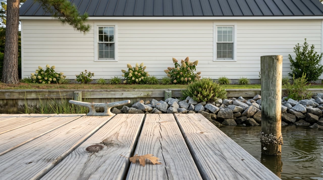
Two waterfront homes in White Stone can carry nearly identical list prices and represent entirely different purchases. One sits on a protected cove with six feet of water at the pier at low tide and no flood zone designation. The other looks out on a wider view but drops to two feet at the dock, sits inside a mapped flood zone, and needs three separate agency approvals before anyone can lengthen the pier. The list price will not tell you which is which.
That gap is the reason a mid-funnel White Stone shopper who has already scrolled the portals still does not know what they are looking at. The headline numbers are wide enough to be almost useless on their own. In July 2026 the town's median list price sat around $1.04M on one platform and closer to $517,000 on another, with waterfront-only medians near $287,000 and typical days on market at 134. In the same window only one home closed in the past month. A thin, wide market rewards buyers who can read past the sticker.
The Number That Actually Prices The Water
Ask a Northern Neck listing agent to describe a waterfront property and the first spec after the address is almost always MLW, mean low water at the pier. It is the depth remaining under your boat at the lowest normal tide. Listings across White Stone advertise everything from 2 feet MLW on shallow tributaries to 6 feet or more on the mouths of Indian Creek, Dymer Creek, and the Rappahannock proper. Sailboat owners need roughly 5 to 6 feet. A center-console outboard is comfortable at 3. A jon boat or kayak needs almost nothing.
MLW is the hidden mechanism because it segments buyers before price does. A retiree bringing a 42-foot sailboat from Annapolis cannot buy the shallow-creek cottage at any price. A weekend kayaker probably should not pay the sailboat premium. Two homes at $850,000 with the same bedroom count and view can serve completely different owners, and the depth stamped on the listing is what sorts them.
Creek By Creek, The Money Buys Different Things
White Stone touches an unusual number of named waterways for a town its size. Each creek behaves differently in terms of protection, depth, and access to open water.
| Waterway | Typical dock depth in listings | Protection | Distance to open water |
|---|---|---|---|
| Carter's Creek | 2 to 4 feet MLW toward the head, deeper at the mouth | Well protected, wraps around Irvington | Short run to the Rappahannock |
| Dymer Creek | 2 to 3 feet MLW in coves, deeper mid-channel | Sheltered, feeds Fleets Bay | Minutes to the Chesapeake |
| Tabbs Creek | 3 to 5 feet MLW on the main body | Protected deep cove reputation | Short run to the Bay |
| Indian Creek | Often 5 to 8 feet MLW | Deep, sailboat-friendly | Around the corner from the Bay |
| Antipoison Creek | 3 to 6 feet MLW | Protected, sunset exposure | Direct to the Bay |
| Rappahannock frontage at Windmill Point | Open river, deep | Exposed to weather | On the water |
Read the table sideways and the pricing logic clarifies. Indian Creek and Antipoison carry a premium because deep, protected water is the scarcest combination. Rappahannock frontage delivers the widest view and the biggest weather exposure, which is why riprap shoreline and elevated pads show up in those listings. Carter's Creek pays for proximity to Irvington's dining and the Tides Inn more than for boating depth. Dymer and Tabbs sit in the middle, and their values swing hard on which cove the house sits in.
Three Agencies Meet At Your Bulkhead
A specific transaction friction shows up the first time a buyer asks about extending a pier, replacing a bulkhead, or adding a boat lift. In Lancaster County the waterline is split across three jurisdictions. Work landward of mean high water goes through the Lancaster County Land Use Office. Work between mean high and mean low water goes to the Lancaster County Wetlands Board. Anything waterward of MLW belongs to the Virginia Marine Resources Commission and sometimes the U.S. Army Corps of Engineers.
That structure has a practical consequence. A dock project that crosses two of those zones needs two applications, and applications typically run 30 to 60 days each. Pier main-run construction generally prices between $125 and $300 per linear foot, with the pilings driving the spread. If the seller has already permitted the pier to its current length and depth, you are buying a scarce asset. If the pier is undersized for your boat and the water is shallow at the bulkhead, you are buying a permitting project on top of a house.
A buyer who asks "what MLW at the pier" and "when was the pier last permitted" in the same breath has already narrowed a White Stone waterfront shortlist by half.
What The 2028 Bridge Start Actually Means For Value
The Robert O. Norris Bridge is the reason White Stone exists as a real estate market rather than a very quiet fishing village. It is the only crossing between the eastern Northern Neck and the Middle Peninsula. The next bridge upriver at Tappahannock is more than 30 miles away, and a detour around a closure can run past 90 miles. The current span opened in 1957 and carries roughly 7,560 vehicles a day.
In April 2025 Governor Youngkin signed SB 1082, and construction on a replacement is now slated to begin in 2028 rather than 2036. News on the Neck reported the new bridge will carry two lanes but will be about 67 percent larger overall, with proper shoulders and taller guardrails. VDOT has stated the existing bridge will remain open through construction and be demolished only after the new one carries traffic. A separate $7.1M structural steel rehabilitation on the existing bridge is scheduled to wrap up in September 2026.
The market implication is not that White Stone values will spike on a groundbreaking. It is that the primary long-term risk to White Stone waterfront values, an unplanned failure of a 1957 fracture-critical structure, has been meaningfully reduced on a known timeline. Buyers who were waiting on that question have their answer. Buyers who care about construction-era truck traffic on Route 3 have a new question to price in. Either way, the bridge is now a scheduled variable rather than an open one.
Reading A White Stone Listing With These Filters
Once the mechanism is clear, a waterfront listing reads differently. In roughly this order:
- Find the MLW figure. If it is not stated, ask before the showing. Verified depth beats advertised depth, and the seller can usually produce recent soundings.
- Identify the waterbody by name and where the parcel sits on it, head of the creek or near the mouth. Head lots are more protected and shallower. Mouth lots trade some shelter for depth and view.
- Confirm flood zone status against a current FEMA map, and note whether the home is elevated. Several White Stone waterfront listings advertise "not in a flood zone" specifically because it is a scarce feature that materially lowers carrying costs.
- Ask when the pier was last permitted and to what dimensions. That single fact tells you whether future improvements will move quickly or slowly.
- Note distance by water to a fuel dock, boat ramp, or the marker at Windmill Point Marina. Land distance to Kilmarnock hospital and to the Irvington shops matters for resale, but water access to fuel matters more to certain buyers than any square-foot count.
Every one of those filters is available in a well-written listing. Two of them are almost never in the portal search fields.
FAQ
Is White Stone waterfront a buyer's market or a seller's market right now? Neither label fits cleanly. Inventory is thin, days on market are long, and the reported medians disagree by roughly two-to-one depending on the source. That combination means the right property still moves and the wrong property sits. Pricing depends more on the specific creek and the specific pier than on the town average.
Does the Norris Bridge construction schedule affect financing or insurance? Not directly. Lenders and insurers are not repricing White Stone waterfront based on the 2028 start. The relevant variables for a mortgage and a policy remain flood zone, elevation certificate, roof age, and proximity to hydrant service. The bridge matters for lifestyle and long-horizon resale, not for the underwriting file.
Can I add a floating dock to a shallow-water lot to solve the MLW problem? Sometimes. A floating dock still needs water under it and needs to reach navigable depth. It also touches all three jurisdictions above the moment it extends past MLW. The honest answer is that shallow water is easier to accept than to engineer around, and the buyers who succeed on shallow lots are the ones whose boats match the depth.
How much of the White Stone waterfront market is second homes? Enough that seasonal patterns show up in showings, but the town has a working year-round population, a hospital nearby in Kilmarnock, and a functioning commercial center. It is not a resort. Sellers price accordingly.
If a specific creek, a specific pier, or the pace of the bridge project is the piece you want to talk through against a real listing, Josh Hinson will walk the water and the paperwork with you before you ever write an offer. Schedule a free consultation and bring the addresses.