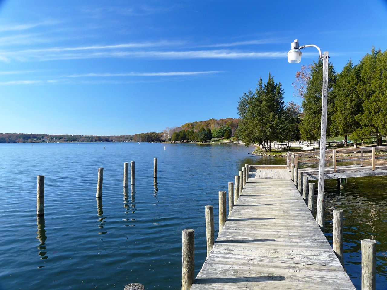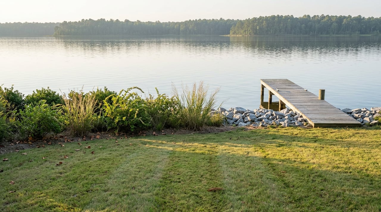
A buyer called me last spring with two listings pulled up side by side. Both were a little under two acres. Both fronted tidal water in the Lottsburg area, one on the Coan River side, one on a Yeocomico River tributary. The per-acre math looked almost identical. He wanted to know which one was the better deal.
The honest answer is that per-acre price tells you almost nothing about what you can actually do with a piece of waterfront land here. Three things do that work instead, and none of them show up in the listing headline. One shrinks your buildable footprint before you ever break ground. One decides whether you can build at all. One decides whether the word "waterfront" gets you a boat slip or just a nice view from the porch.
The buffer that eats the acreage first
Every unimproved parcel touching tidal water in Northumberland County sits inside the Chesapeake Bay Preservation Area, and that means a Resource Protection Area buffer applies before you draw a single property line for a house. The county's own ordinance sets that buffer at 100 feet, measured landward from the tidal shore, wetlands, or any perennial stream on the property. Inside that strip, development is restricted by design. It exists to filter runoff before it reaches the water, and the county treats it as close to untouchable.
Here is the part that catches buyers off guard. The ordinance also requires that whatever area sits outside the RPA be large enough to actually hold a home. Northumberland County's regulations set that minimum at 15,000 square feet of buildable area outside the buffer. On a long, narrow waterfront lot, a 100-foot setback from the shoreline can consume a third of the parcel or more before you even start thinking about septic placement, driveway, or a garage. Two lots that show identically on a plat map, both listed at "1.7 acres, waterfront," can have wildly different amounts of land you're actually allowed to build on, depending on shape and how the shoreline cuts across the parcel.
This is why the shape of a lot matters as much as its size. A square two-acre parcel keeps far more usable ground outside a 100-foot buffer than a long skinny one with the same acreage. Before you get attached to a listing, ask for the RPA delineation, or budget for a surveyor to do one. It is the single fastest way to find out whether the number on the plat and the number you can build on are the same thing.
The test that decides whether you can build here at all
Most Lottsburg land sits outside any public sewer district, which means every home here runs on a private septic system, and every septic system depends on a passing perc test before the county health department will issue a permit. The test measures how fast water moves through the soil on the actual building site, not the neighborhood in general. Soil that drains too fast lets waste through untreated. Soil that drains too slowly backs up into a soggy field. Either result kills a conventional system on that spot.
A perc test typically costs $300 to $1,000, a small fraction of the cost of the land itself, which is exactly why it deserves to be a contract contingency rather than an afterthought. If a site fails, you are not automatically out of options, but the options get more expensive fast. A mound system, which builds the drain field above grade using imported sand and gravel instead of relying on native soil, typically runs $15,000 to $30,000, compared to $7,000 to $15,000 for a conventional system. An aerobic treatment unit, which mechanically treats effluent before it disperses, costs $10,000 to $20,000 upfront and adds $200 to $500 a year in maintenance. Neither is unusual on Northern Neck waterfront lots where soil types shift from one parcel to the next, but neither is free, and neither should be a surprise you discover after closing.
If you are comparing two lots and one already carries a recent, valid perc approval, that is worth real money to you, not just a line item in the listing description. It removes the single biggest unknown in the entire purchase.
Waterfront, water access, and water view are not the same product
Walk through enough Lottsburg listings and you will notice the language splits into three distinct categories, and they are priced that way for a reason.
- A true waterfront lot fronts the water directly and typically comes with the right to build a private pier, subject to permitting.
- A water access lot sits in a community with shared water rights, often through a neighborhood boat ramp on a creek like Glebe Creek or Kingscote Creek, both of which feed out to the Coan and the Potomac. You get the river life without owning shoreline.
- A water view lot sits back from the bank entirely. You see the water. You do not touch it without crossing someone else's land.
The gap between those three categories is exactly what several current Lottsburg listings advertise outright, describing the water-access product as the river lifestyle "without the waterfront prices." That phrase is doing real work. It is telling you the discount is intentional and the tradeoff is permanent, not something you can fix later by adding a dock.
Even among true waterfront lots, the value split continues underground, or rather underwater. Mean Low Water, the average depth at low tide measured at the shoreline, determines whether a private pier will actually float a boat or leave it sitting in mud for half the day. Local listings frequently lead with the MLW figure precisely because buyers who boat have learned to ask for it first. A lot on the Yeocomico River advertising five feet of MLW is a meaningfully different product than a nearby creek lot advertising three and a half to four feet, even though both sit within a few minutes of each other by water.
Building or replacing a private pier here also means clearing a state-level review on top of anything the county requires. The Virginia Marine Resources Commission regulates anything built waterward of Mean Low Water, often alongside the U.S. Army Corps of Engineers, and residential dock permits in this part of the Northern Neck commonly take 60 to 90 days from submission to approval. That timeline is worth knowing if your plan involves a boat in the water by a specific summer.
What to actually ask for before you write an offer
If you are serious about a Lottsburg lot, four requests will tell you more than any per-acre comparison:
- Ask for the RPA delineation or budget for one, so you know the real buildable footprint, not just the plat acreage.
- Make your offer contingent on a passing perc test, or confirm a current, valid one already exists for the site.
- Ask the seller for the documented MLW depth at the shoreline, not just the word "waterfront" in the listing.
- If a pier is part of your plan, ask whether one already exists and is permitted, since starting from scratch adds months before you can put a boat anywhere.
None of these are unusual requests on the Northern Neck. Agents and sellers who work this market expect them.
The real math
Price per acre is a starting point, not an answer. The lot that looks like the better deal on paper can turn out to have a fraction of the buildable ground once the buffer comes off, a septic system that costs three times more than expected, or a shoreline that never floats more than a kayak. The lot priced a little higher can turn out to be the simpler build with the better water underneath. The only way to know which is which is to look past the listing headline and into the specific dirt, water, and paperwork of that specific parcel.
If you are comparing land in Lottsburg, or anywhere else on the Northern Neck, I am happy to walk a few lots with you and talk through what each one actually offers once you look past the price tag. Josh Hinson works this ground regularly and can help you figure out which numbers on a listing are worth trusting and which ones need a closer look before you sign anything. Schedule a free consultation and let's start there.